High tech charting of flowering canopies
Eye in the sky satellite and drone technology has been used by PhD candidate Daniel Dixon to map flowering eucalypt canopies.
The project measuring the abundance and intensity of large-scale flowering events was undertaken with The University of Western Australia and the federally funded Cooperative Research Centre for Honey Bee products.
Field sites were in the northern jarrah forest including Mundaring State Forest and John Forrest National Park.
Mr Dixon is applying this technology and geospatial tools to answer questions about environmental health and food security. He says the aim is to understand the drivers for flowering, including forest responses to climate change and other activities such as fire.

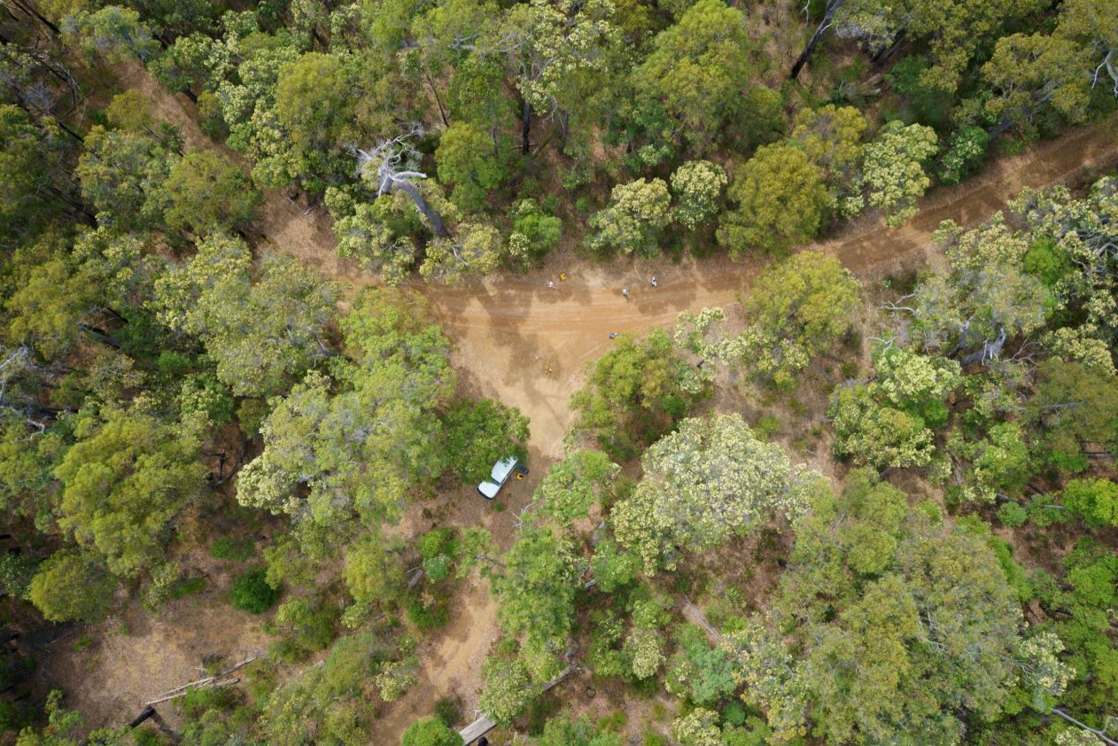
Daniel Dixon with one of the research drones. Image: UWA Institute of Agriculture
He has developed the model with fellow UWA researchers Associate Professor Nik Callow, Dr John Duncan, Associate Professor Samantha Setterfield and Dr Natasha Pauli.
“Drones allowed us to quantify flowering events on specific dates and locations with high resolution RGB (colour modelling) imagery.
“The data then informed the CubeSat (small satellite) daily image time series to make maps of flowering. Additionally, because the model works at the satellite level, we could monitor flowering across large areas and into the past with the satellite archive.”
“By studying the drivers of flowering, we aim also to improve our understanding of forest management, biodiversity and beekeeping in southwestern Australia.”
Mr Dixon first got involved with honey bees and quantifying bee flora while studying for his Master’s degree at the University of North Dakota in the USA, where he studied grasslands, land use change and impacts on pollinators.
His PhD thesis ‘Understanding environmental drivers of flowering events with remote sensing’ is expected to be submitted in early 2022.


