New self-drive app for Pilbara tourists
A new app developed by the Pilbara Tourism Association is helping self-drive tourists to explore Western Australia’s vast and beautiful Pilbara region. The Warlu Way, named after a spirit snake featured in Pilbara creation stories, provides four routes between Exmouth and Broome, taking in the Pilbara’s major tourism attractions on sealed and unsealed roads.
The coastal route explores the Pilbara coastline, showcasing the Mackerel Islands, Dampier Archipelago, the world heritage-nominated rock art of Murujuga National Park and local industry.

Ningaloo Reef, the world’s largest fringing reef and one of the longest near-shore reef systems in the world. Photo credit: Tourism Western Australia
The inland route explores red rock gorges, pastoral station stays and the rugged and beautiful Karijini National Park.
The Manuwarra ‘Red Dog’ Highway route links Murujuga to the national parks of Millstream Chichester and Karijini.
The East Pilbara Geoheritage Trail links Karijini to Port Hedland and takes in remarkable geographical features.
The app project received a Regional Economic Development (RED) Grant, with additional support from Rio Tinto, the Shires of East Pilbara and Ashburton and the Town of Port Hedland.
The app can be accessed through the www.destinationpilbara.com.au website and downloaded from Apple App store for iPhone or Google store for Android phones.

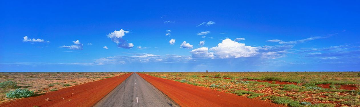
Warlu Way, 2,480 kilometre self-drive journey winds through the North West’s ancient landscapes to discover Indigenous dreamtime legends against a backdrop of pristine coastlines and iconic outback landscapes. Source: North West Tourism (ANW)


