No network. No worries.
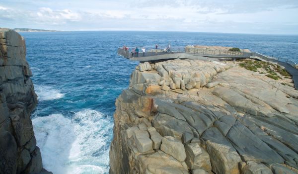
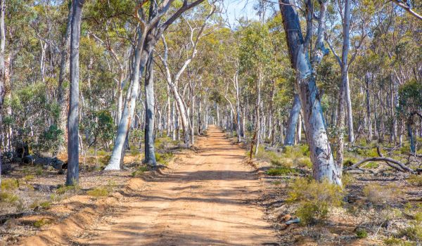
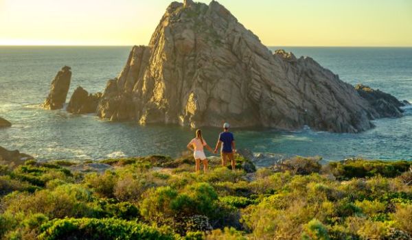
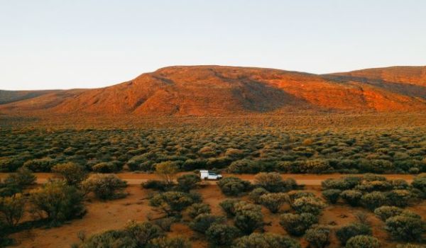
Smartreka maps make it easier to navigate in more than 20 of Western Australia’s favourite national parks and reserves including popular destinations such as Wadjemup Rottnest Island.
Using the Avenza Maps App and the built-in GPS on your device, you can pinpoint your real-time location on the Smartreka map. If downloaded ahead of your trip while network access is available, this can be done without a network connection.
Getting started is easy
Simply download the free Avenza Map app from the links below and create an account.
- Android devices
- Apple (iOS) devices
Visit the map store within the app to download and purchase your WA Parks Foundation Smartreka maps.
Watch the video to view the Smartreka map in action. Further instructions on how to download the maps can be found HERE.
Smartreka is a WA Parks Foundation initiative, delivered in partnership with the Department of Biodiversity, Conservation and Attractions.


 at Stokes Inlet, located in the Stokes National Park")