Shannon National Park now on Smartreka
The Shannon National Park on WA’s south coast is the latest to be mapped in the WA Parks Foundation’s Smartreka mapping series.
About 55 km south east of Manjimup, the park covers the entire Shannon River basin and is part of the larger Walpole Wilderness Area, an international biodiversity hotspot. The area contains biologically rich wetlands and heathlands as well as old growth and regrowth karri forests.
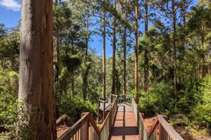
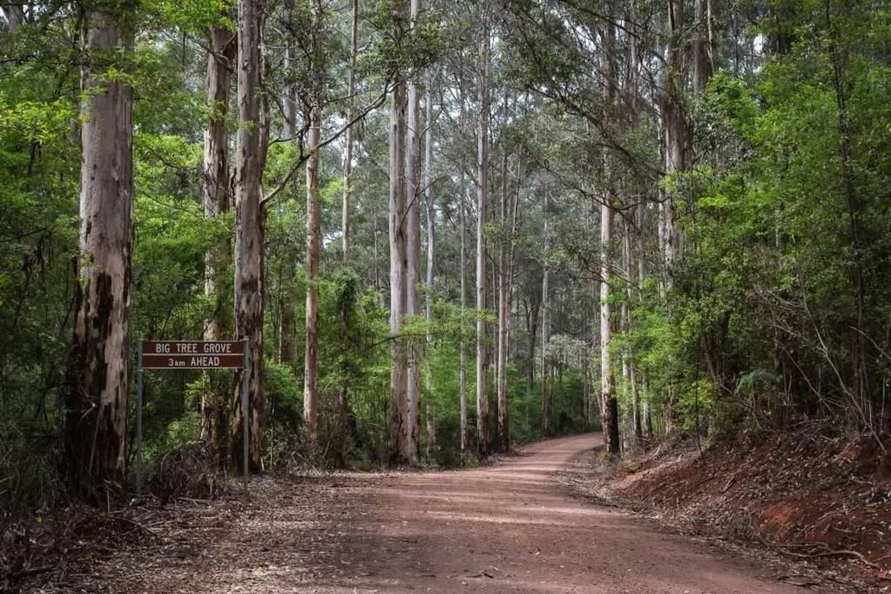
The 50-kilometre Great Forest Trees Drive winds through towering karri, jarrah and marri, with interpretive signs and picnic spots along the way, while bushwalking trails cater for all fitness levels.
Highlights such as Snake Gully Lookout and Big Tree Grove bring visitors face to face with forest giants reaching up to 90 metres tall, and birdlife is abundant throughout the park.
As well as catering for walkers and drivers, horse riders are welcome, offering many ways to experience one of WA’s most magnificent karri forests.
Canoeing and kayaking are also popular on the Shannon River and camping is available at the Shannon Campground (fees apply), and the park also has bridle trails for horse riding.
Using the free Avenza Maps App and the built-in GPS on your device, you can pinpoint your real-time location on the Smartreka map. If downloaded ahead of your trip while network access is available, this can be done without a network connection and without roaming charges.
Get started in two easy steps:
Download the free Avenza Maps app to your tablet or smartphone:
- For android devices, click here
- For iOS (apple) devices, click here
Download the Shannon National Park Smartreka map here: