Torndirrup National Park is home to a range of spectacular natural wonders, and is one of the most visited national parks in Western Australia.
The drive through Torndirrup is stunning and leads down to the rugged southern coastline.
The Gap and Natural Bridge have been formed over hundreds of years by the ocean eroding a large gap in one rock face and a natural arch in another. A short walk will lead you to the blowholes, a split in the rock where the waves force air out the top.
For the walking enthusiast, take one of the easily accessible bush walks through the park to see a plethora of stunning wildflowers in season. Alternatively for the more adventurous, take the medium grade coastal walk to Bald Head, the landmark that once guided explorers into King George Sound.
Torndirrup National Park is a 15 minute drive from Albany, which is a four and a half hour drive southeast of Perth.
What is a Smartreka map?
Smartreka maps make it easier to navigate! The maps use the built-in GPS on your smartphone or tablet to plot your real-time location. This can be done without a network connection and without roaming charges. To get started, simply download the free Avenza Map app and then visit the map store to download your maps!
Get started in two easy steps:
Download the free Avenza Maps app to your tablet or smartphone
- For android devices, click here.

- For iOS (apple) devices, click here.
Purchase the WA Parks Foundation Smartreka map from the Avenza Map store and start exploring with confidence!
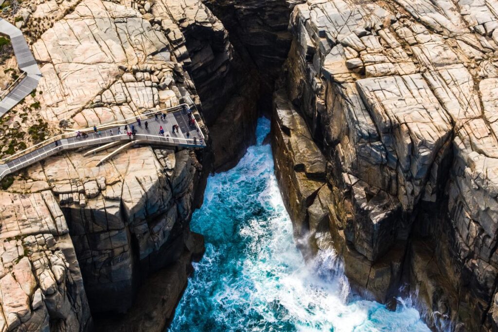
The Gap is a spectacular channel in the 40m high coastal granites of Torndirrup National Park. Photo credit: Tourism WA