A place of natural wonders, where visitors can connect with the beauty of the island from the land, sea, and sky.
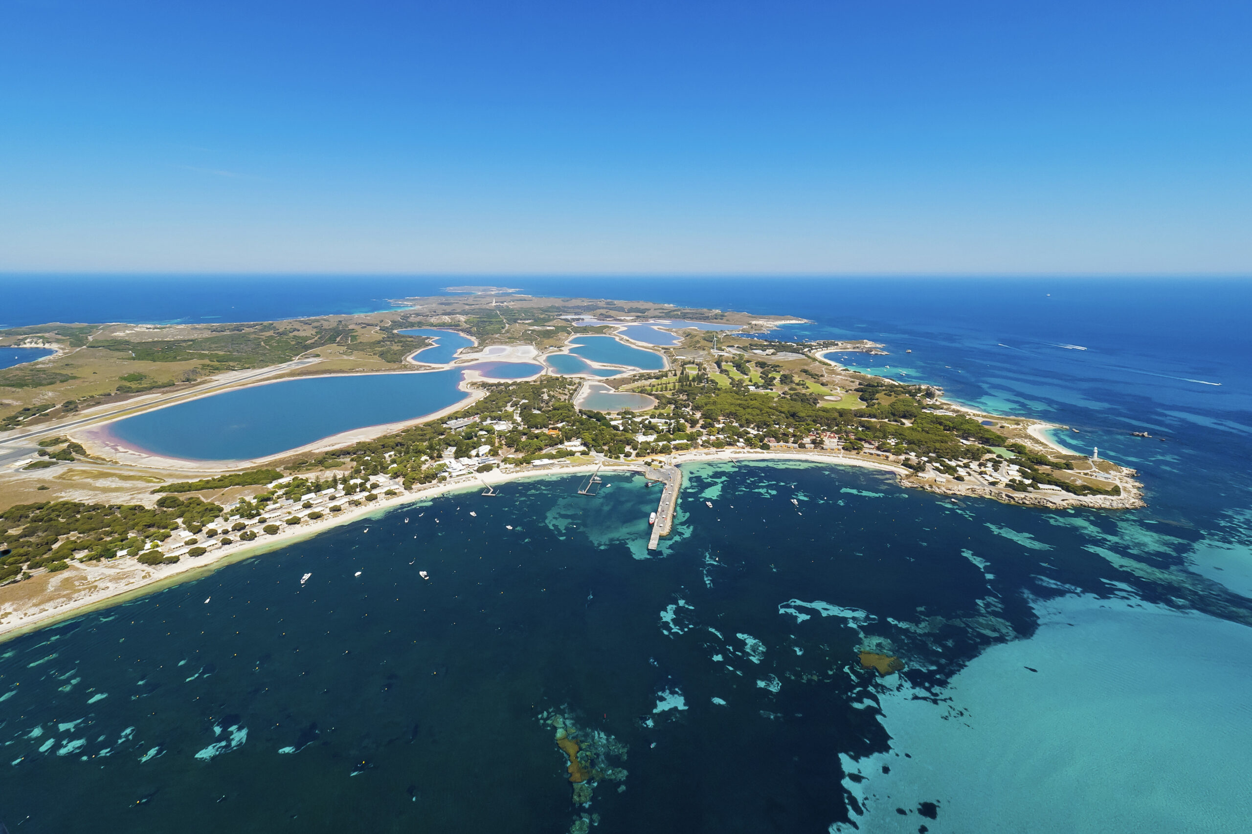
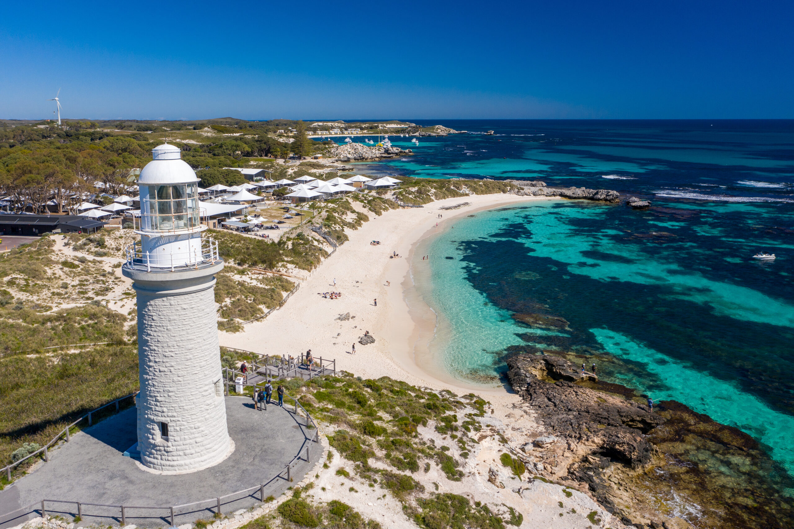
Home to the happiest animals on earth – quokkas – Wadjemup is a holiday haven of pristine beaches, aquamarine bays, bike tracks and walking trails. The car-free, conservation-minded Class A reserve is only a 30-minute ferry ride from Fremantle, Perth, and an unforgettable adventure for every visitor.
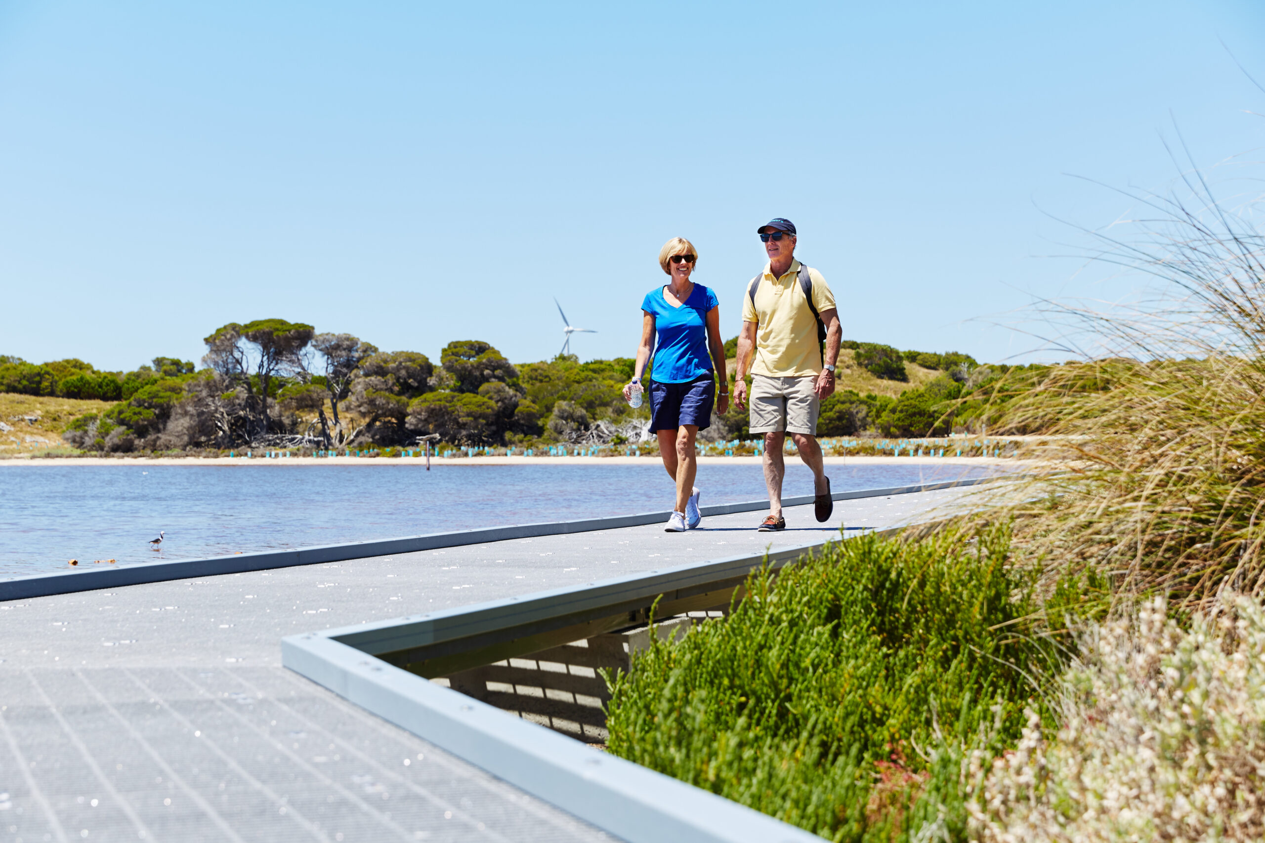
Smartreka brings digital navigation to the Wadjemup Bidi, a network of trails showcasing the island’s breathtaking coastal headlands, tranquil inland lakes, and iconic attractions. Explore the 45 kilometers of pristine bushland and hiking trails with confidence. Let Smartreka guide you through your next Wadjemup adventure!
What is a Smartreka map?
Using the free Avenza Maps App and the built-in GPS on your device, you can pinpoint your real-time location on the Smartreka map. If downloaded ahead of your trip while network access is available, this can be done without a network connection and without roaming charges.
Get started in two easy steps:
Download the free Avenza Maps app to your tablet or smartphone:
- For android devices, click here.
- For iOS (apple) devices, click here.
Purchase the Wadjemup Rottnest Island Smartreka map using this QR code and start exploring with confidence!

Smartreka is a WA Parks Foundation initiative, in partnership with the Department of Biodiversity, Conservation and Attractions.