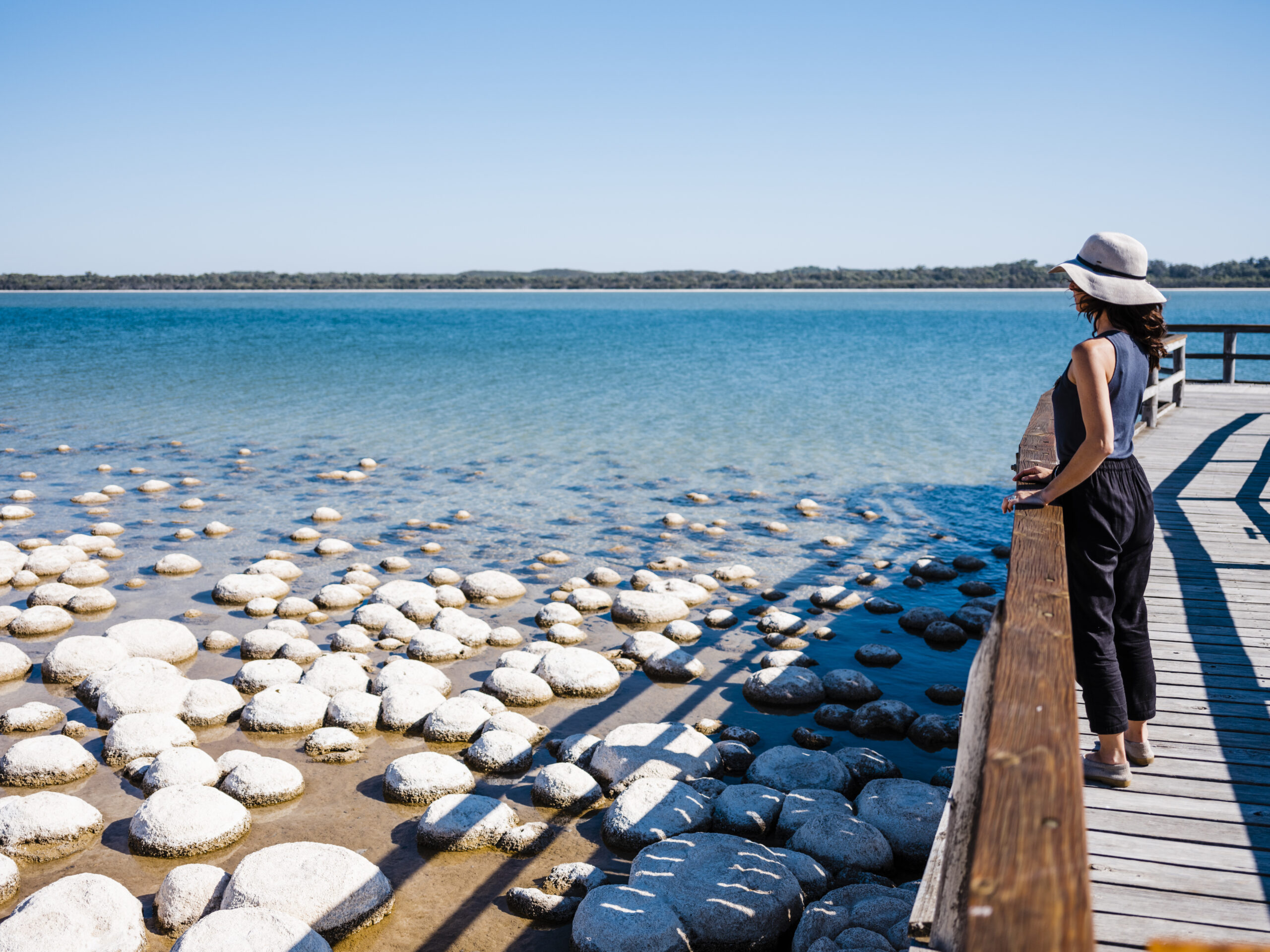
More than just a bunch of pretty lakes, Yalgorup is the largest national park on the Swan Coastal Plain and the home of ancient living rock legends the thrombolites.
The park occupies a narrow coastal strip and is home to 10 lakes that run in a chain. The name Yalgorup is derived from Nyoongar Aboriginal words meaning “place of swamp or lake”. Lake Clifton and Lake Preston are the two main water ways which harbour a large variety of bird life.
Bushwalking around these lakes you’re likely to see black swans, parrots, kingfishers and several varieties of dotterel. Other animals including kangaroos are common, while the vegetation is a mix of tuart woodlands, paperbark swamps and eucalypts.
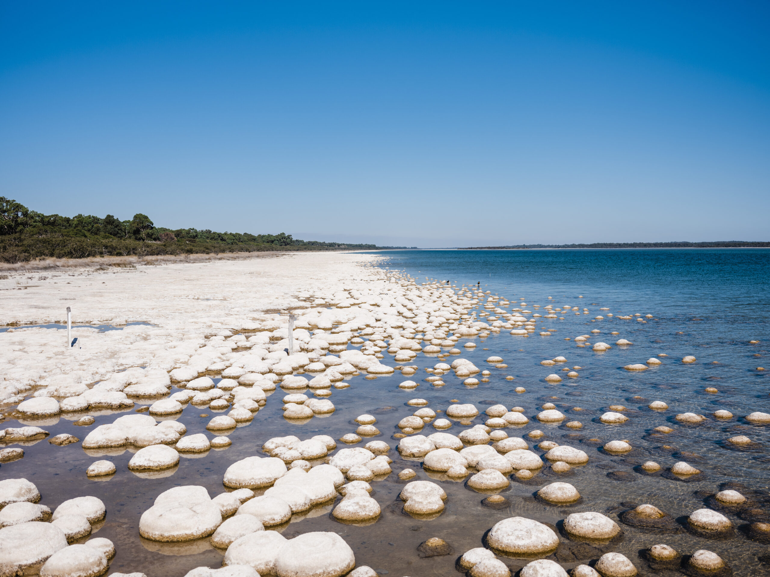
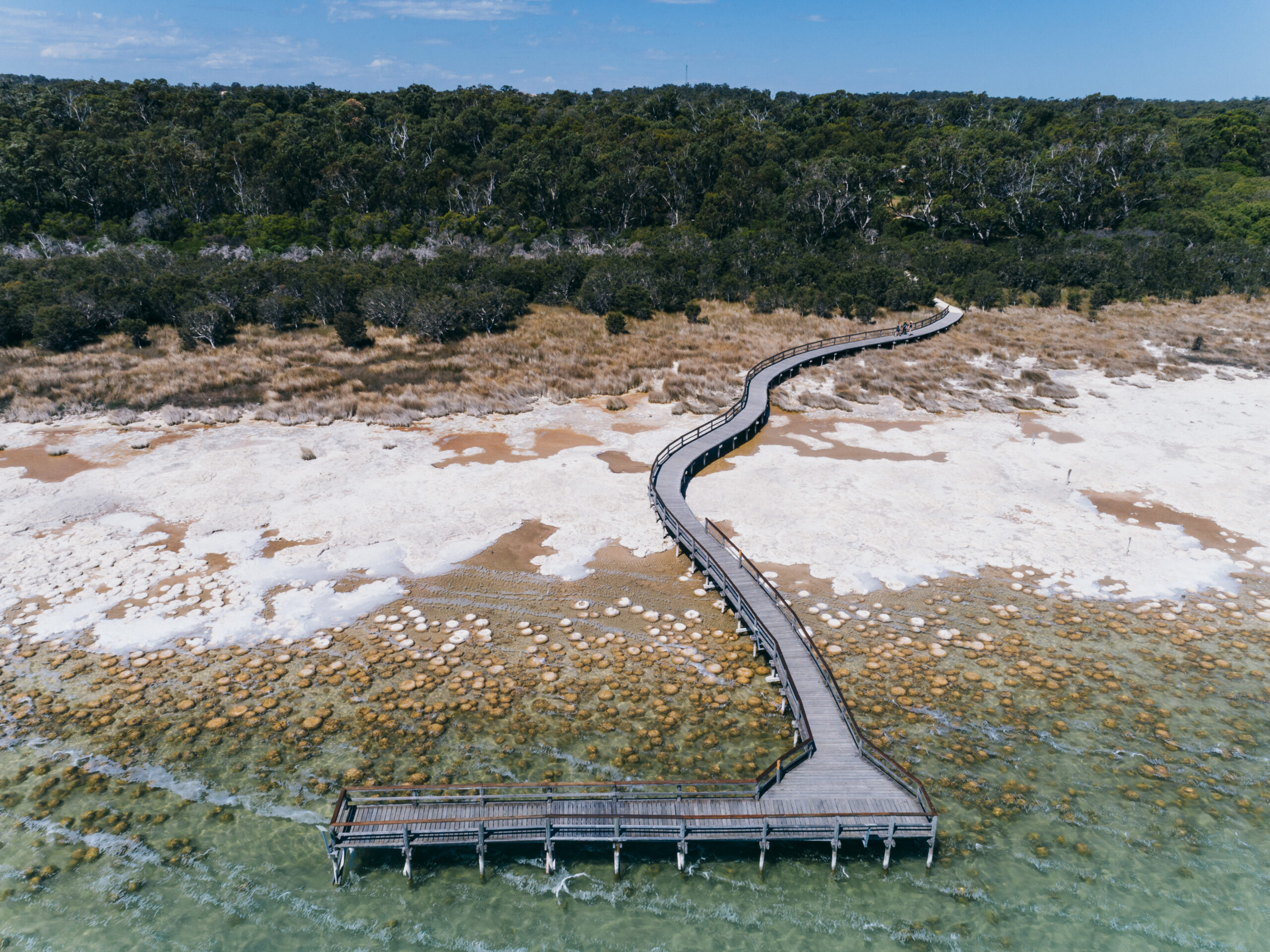
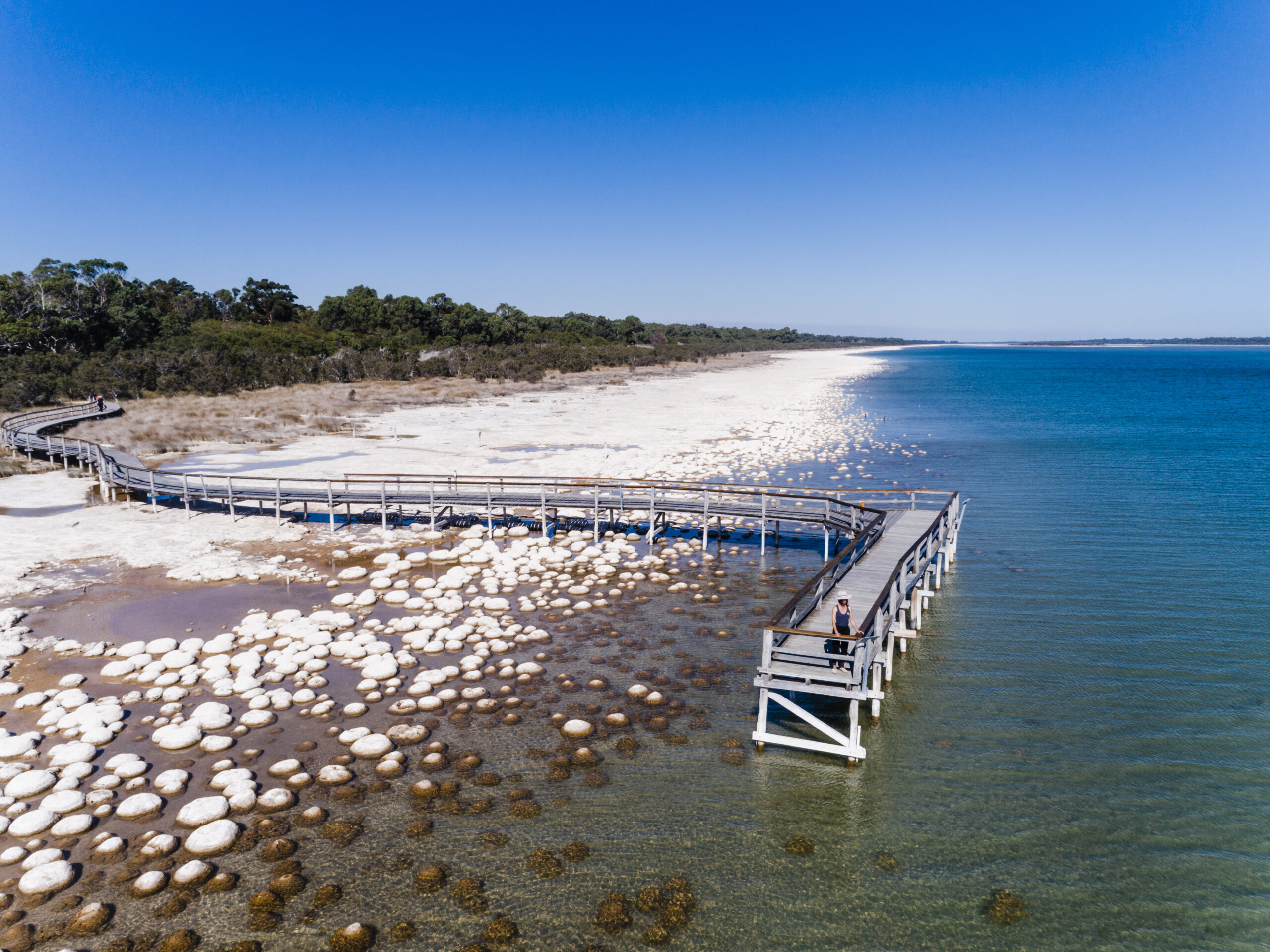
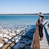
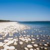
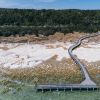
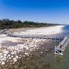
Explore special rock-like formations known as thrombolites. These formations are built by micro-organisms not visible to the human eye. It’s one of the few places in the State where living thrombolites survive and they provide a unique look at what life was like at the dawn of time. They are visible at the edge of Lake Clifton in March and April – please remain on the boardwalk to view them.
What is a Smartreka map?
Using the free Avenza Maps App and the built-in GPS on your device, you can pinpoint your real-time location on the Smartreka map. If downloaded ahead of your trip while network access is available, this can be done without a network connection and without roaming charges.
Get started in two easy steps:
Download the free Avenza Maps app to your tablet or smartphone:
- For android devices, click here.
- For iOS (apple) devices, click here.
Download the Yalgorup National Park Smartreka map using this QR code and start exploring with confidence!

Smartreka is a WA Parks Foundation initiative, in partnership with the Department of Biodiversity, Conservation and Attractions.