Cape Range Smart Park maps now available
The Smart Park Maps project initiated by the WA Parks Foundation continues to forge ahead. The newest in the series are the Cape Range National Park maps.
The Smart Park Maps, sponsored by BHP, is delivered by the WA Parks Foundation in partnership with the Department of Biodiversity, Conservation and Attractions.
The initiative aims to make it easier to navigate around Western Australia’s most popular parks and when preparing for a visit. Providing the maps are downloaded when you have mobile reception they can be used to display your real-time location even in areas where there is no mobile reception.
The Smart Park Maps provide information on camping and picnic areas, lookouts, parking, swimming, toilets, walk trails and their classifications, wheelchair access, Wi-Fi, roads, tracks, safety information and attractions at Cape Range National Park.
There are three maps available for download:
- Cape Range National Park – Overview
- Cape Range National Park – North
- Cape Range National Park – South
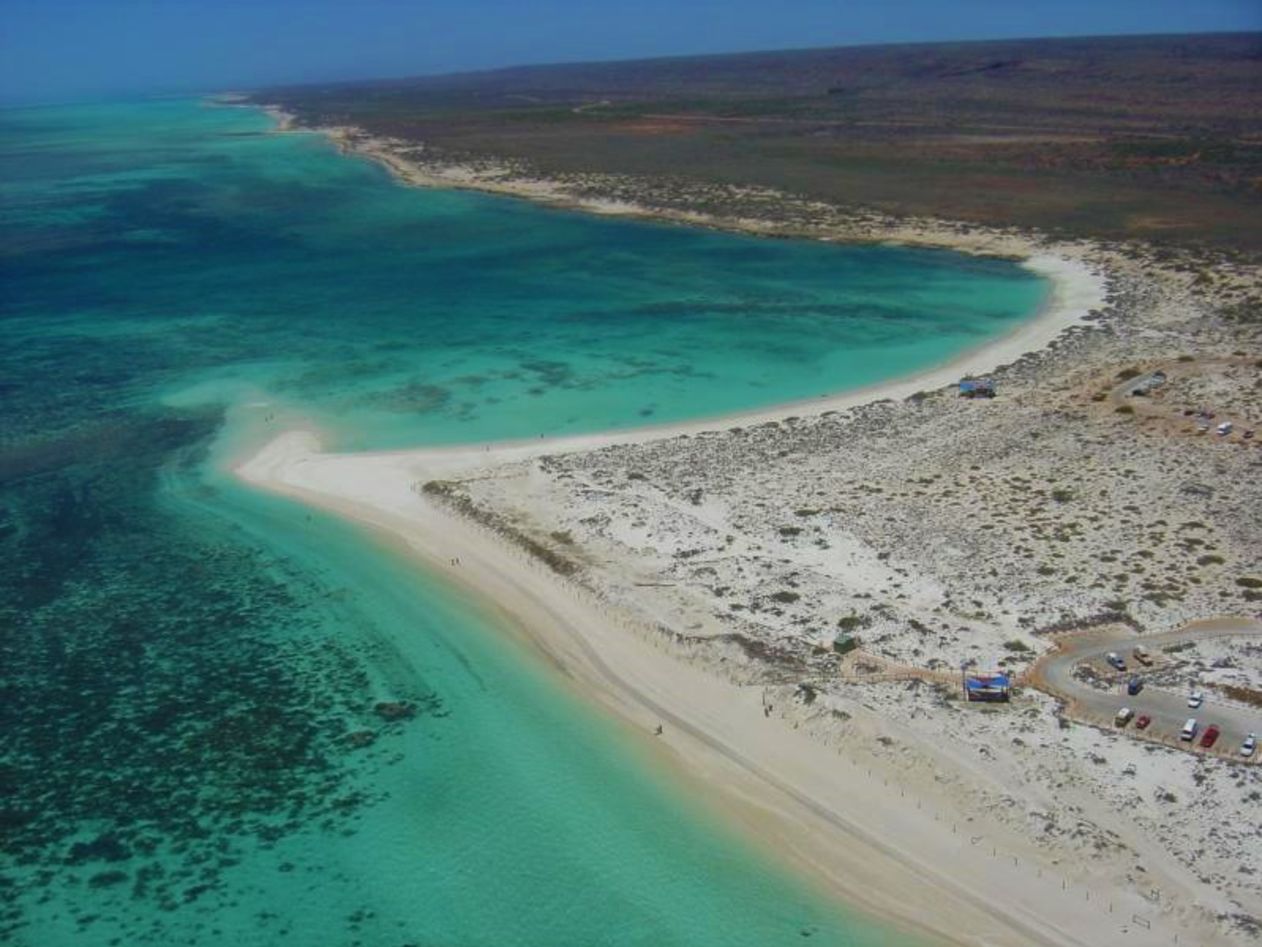
The magnificent coastline of the Cape Range National Park abuts Ningaloo Marine Park. The rugged gorges inland are another major attraction for visitors.

Yardie Creek Gorge, Cape Range National Park
A feature in the Cape Range National Park maps that we haven’t seen elsewhere is a birdwatching hide marked on the northern map.
The maps use the built-in GPS on your smartphone or tablet to plot your real-time location onto the Smart Park Map. This can be done without a network connection and without roaming charges.
Other maps available in the series are for Karijini and Kalbarri national parks.
Downloading the Smart Park Maps
To view the maps, download the free Avenza Maps app to your tablet or smartphone via:
- For android devices, click here.
- For iOS (apple) devices, click here.
Then visit the Avenza map store to download your maps.


