Smartreka mapping program continues to expand
Smartreka maps are now available for the Dryandra Woodland National Park and the Stokes National Park, making it easier and more rewarding to explore the features of these two outstanding natural attractions.
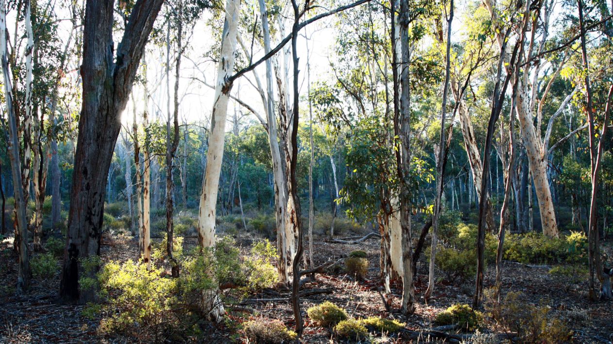
Located near Narrogin, the Dryandra Woodland National Park is 192 kms south-east of Perth. Covering nearly 18,000 hectares, it includes two class A nature reserves dedicated to safeguarding the diverse native wildlife in one of the last remnants of original woodland in WA’s western wheatbelt.
Among these inhabitants are some of Australia’s most vulnerable species, such as numbats, woylies, brushtail wallabies, chuditch, quenda, and malleefowl.
The park also offers exceptional outdoor recreational opportunities, especially for those who enjoy bushwalking. Well-marked walking trails guide visitors through magnificent open eucalypt woodland.

A small estuary that breaks out to the sea each year, Torradup Inlet is a popular spot for canoeing, kayaking, swimming, fishing and bird watching. Images credit: Tourism WA
Stokes National Park, 80 kilometres west of Esperance, encompasses Stokes Inlet and features long beaches and rocky headlands backed by sand dunes and low hills.
The inlet and associated lakes support a variety of wildlife, and the opportunity to explore the interesting ruins of the 1870s Moir family homestead is another attraction.
Smartreka is a WA Parks Foundation initiative, in partnership with the Department of Biodiversity, Conservation and Attractions.
Using built in GPS capabilities on smartphone or tablet to plot real-time location, the maps make it easier to navigate. If downloaded ahead of your trip while network access is available, this can be done without a network connection and without roaming charges.


