Smartreka maps popular with Karijini visitors
As the WA Parks Foundation continues to develop its digital Smartreka mapping series for the State’s most visited parks and reserves it has been interesting to see which of our maps so far has had the most downloads.
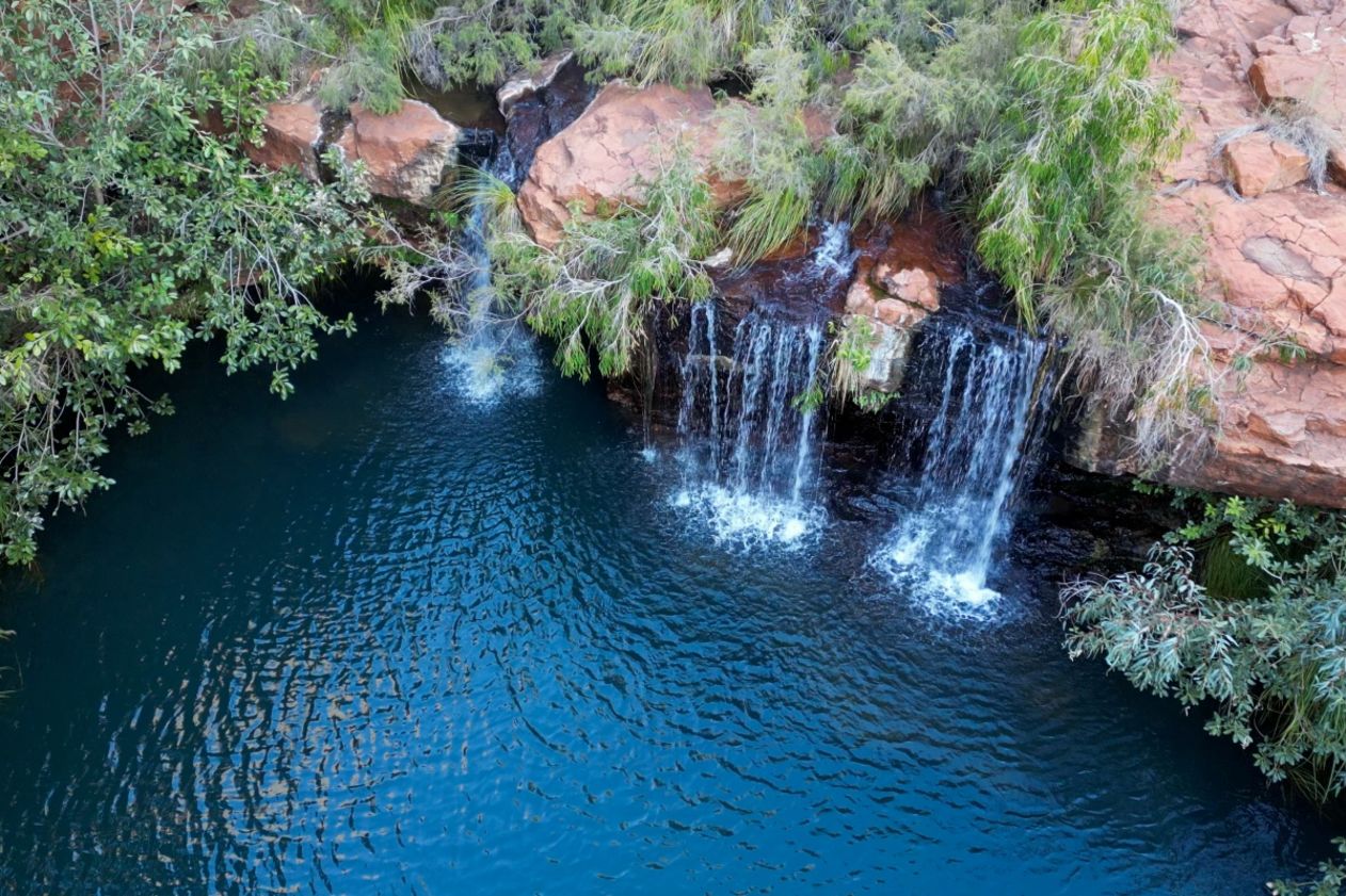
Unsurprisingly, it is Western Australia’s beautiful Karijini National Park, a bucket list destination for nature lovers and explorers. The ideal times to visit are late autumn, winter and early spring.
A visit to Karijini in the State’s north west offers adventurous and unforgettable experiences such as exploring rocky tunnels, plunging gorges with layered red cliffs and other ancient geological features, paddling through crystal-clear waters and swimming beneath refreshing waterfalls.
Travellers can access the park from Pilbara towns Karratha, Tom Price or Newman, and Qantas provides daily flights to the town of Paraburdoo, just 100 kilometres from Karijini National Park.
Traditionally the home of the Banyjima, Kurrama and Innawonga people, the word Karijini is the Banyjima name for Hamersley Range.
For years, the park’s rugged gravel roads posed a challenge for some visitors, but now, with the sealing of 41km of key roads, exploring Karijini and its awe-inspiring attractions is much easier.
Smartreka maps, developed by the Foundation in partnership with the Department of Biodiversity, Conservation and Attractions, make it simpler to navigate in selected Western Australia national parks and reserves. The maps use the built-in GPS on smartphone or tablet to plot real-time location onto the Smartreka map. When downloaded ahead of a visit, this can be done without a network connection and without roaming charges.
Access the Smartreka maps here.


