Additional parks added to Smartreka mapping series
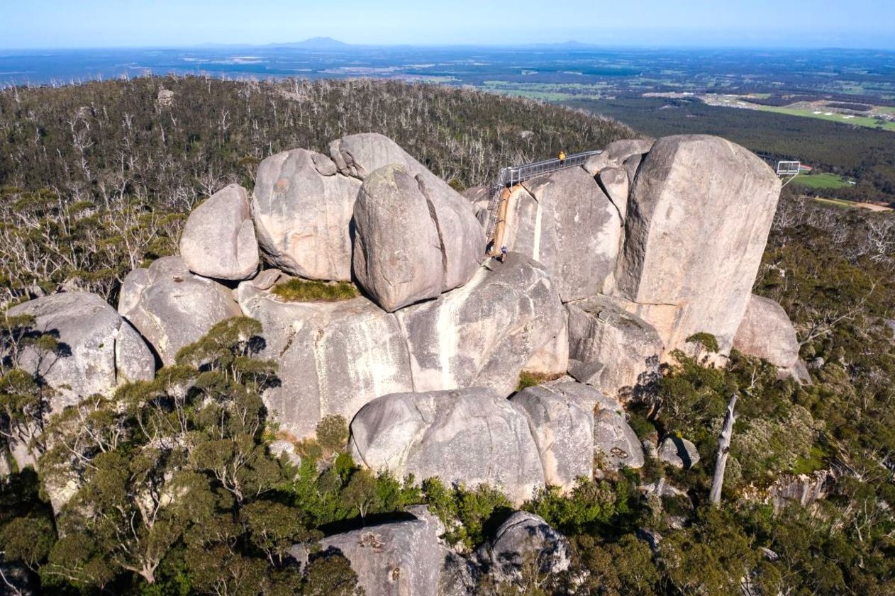
Torndirrup and Porongurup national parks in Western Australia’s south are the latest to be added to the WA Parks Foundation’s Smartreka mapping series, bringing the total so far to seventeen.
Using built-in GPS capabilities on smartphone or tablet to plot real-time location, they make it easier to navigate. If the maps are downloaded ahead of your trip while network access is available, this can be done without a network connection and without roaming charges.

Natural Bridge, Torndirrup National Park. Image credit: Jacki Baxter/Department of Biodiversity Conservation and Attractions
The innovative Smartreka maps developed with the Department of Biodiversity, Conservation and Attractions (DBCA) and in partnership with BHP provide information on access, park facilities, trails and other features and attractions.
To view the maps, download the free Avenza Maps app to your tablet or smartphone.
- For android devices, click here.
- For iOS (apple) devices, click here.
Then visit the Avenza map store to download your maps.


