Rottnest walk trails added to Smartreka mapping series
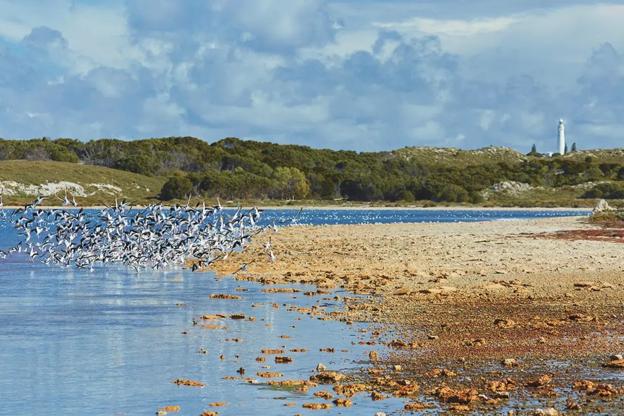
The Wadjemup Bidi, a series of hiking trails taking in the spectacular coastal headlands, inland lakes, and other features of Rottnest Island, has been included in the innovative Smartreka mapping series.
The digital Smartreka maps use the built-in GPS on smartphone or tablet to plot real time locations without relying on network connections and without roaming charges, provided they are downloaded in advance while network connectivity is available.

The Wardan Nara Bidi takes walkers from the stunning coastline of Salmon Bay, Parker Point and Little Salmon Bay through to the middle of the island to explore the WW2 gun and tunnels. Images credit: Rottnest Island Authority.
This latest addition to Smartreka makes it easier to navigate the Wadjemup Bidi’s 45 kilometres of bushland walks and coastal trails.
The Bidi, which means “trail” or “track” in Aboriginal Noongar language, threads its way around and through the island. It is made up of five sections, each stretch displaying culturally and environmentally significant landmarks, providing a balanced opportunity for historical reflection and celebration of the island’s natural beauty.
Smartreka is an initiative of the WA Parks Foundation, delivered in partnership with the WA Government’s Department of Biodiversity, Conservation and Attractions.
The 21 maps completed to date are: Wadjemup/Rottnest Island,Cape le Grande, Cape Range, D’Entrecasteaux, Fitzgerald River, Francois Peron, Kalbarri, Karijini, Kennedy Range, Lane Poole Reserve, Leeuwin-Naturaliste, Millstream Chichester, Mount Augustus, Porongurup, Purnululu, Stirling Range, Torndirrup, Walpole-Nornalup, Walyunga, Wellington, and Yanchep national parks.
Visitors to Rottnest Island can download the Wadjemup Bidi map accessed via the Avenza Map App. There is a small fee for downloading this map.


